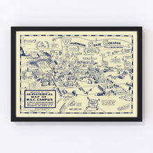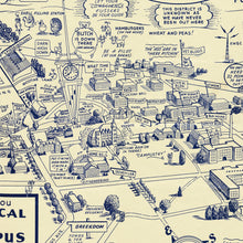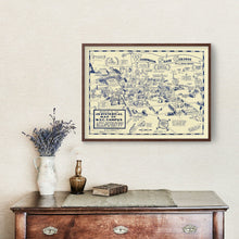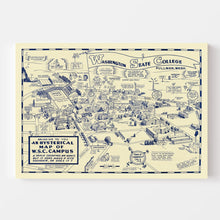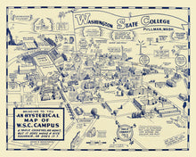
Experience a touch of history with our beautifully restored vintage map of Pullman, located in Whitman County, Washington. Originally crafted in 1946, this map captures the essence of a bygone era and serves as a stunning homage to Pullman's rich past. Our team at Ted's Vintage Art has digitally enhanced this piece to ensure every detail is preserved for your enjoyment.
Whether you're decorating your home or office, this traditional yet classy map makes for an ideal centerpiece and conversation starter. It also functions as a thoughtful gift for history enthusiasts who appreciate fine detailing and local stories. Each print is crafted with care: framed options feature solid wood stained to perfection, while canvas prints are hand-stretched on polycotton canvas over sturdy wood stretcher bars. For those preferring something simpler, our unframed versions are printed on high-quality matte paper.
No need to spend time preparing; all prints arrive ready to hang straight out of the box so that you can bring a piece of Washington’s legacy into your space effortlessly.


