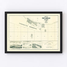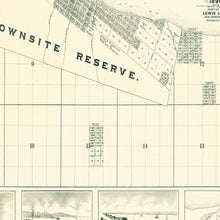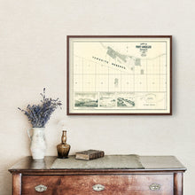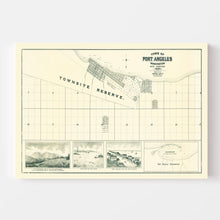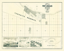
Explore a piece of history with this beautifully restored vintage map of Port Angeles, Washington. Originally crafted in 1890, this map offers a fascinating glimpse into the past of Clallam County. Whether you have roots in Washington or simply love diving into local history, this print is sure to be a cherished addition to your collection.
Perfect for adding a touch of tradition and class to your home or office, each map print is meticulously handcrafted using the finest materials. You can choose from framed options, made with solid wood and stained for an elegant finish, or unframed prints on high-quality matte paper. Our canvas prints are lovingly stretched over solid wood stretcher bars with polycotton canvas for a lasting display.
This map isn’t just decor—it’s also an engaging conversation starter that celebrates the rich history of Port Angeles. Plus, all our prints come ready to hang as soon as they arrive at your door—making them ideal for spontaneous decorators or thoughtful gift givers alike!


